The Old Road Under the New Street
Learn how to trace an old road beneath a new street by comparing maps, street patterns, terrain and place names without mistaking resemblance for proof.
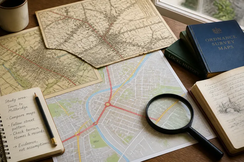
An old road beneath a new street is easiest to recognize where several clues meet, not where one street happens to bend. To trace an old road beneath a new street, compare maps from different periods with the ground you can see today; treat each match as a question to check, not a verdict.
The task is less like uncovering a buried line than reading pencil marks beneath a later drawing. A route can survive as a street, a property boundary, a lane behind houses, or a gap in the modern street grid. It can also disappear completely. The method below follows the evidence in order, from a broad view to the details most likely to mislead.
Set a small study area
Start with a town edge, a neighborhood, or the stretch between two recognizable places. A manageable area makes it easier to compare alignments without turning every odd corner into a candidate road. Choose landmarks that appear on both old and current maps: a church, bridge, market square, railway crossing, or long-established settlement.
Write down the question you want to answer. For example: does the present street leading out of the old center continue a route that once connected the town to a nearby village? That is narrower and more useful than asking whether the whole neighborhood is ancient.
Use a current street map to mark the likely route and its endpoints. Note where the line seems to break, shift, or change name. A name change does not necessarily mean a route change, and a continuous street name does not establish an old origin. These are observations to compare later.
Compare maps by date
Find maps from more than one period, ideally including a map made before the main development you are examining. Local libraries, archives, historical societies, and municipal map collections may hold town plans, estate maps, road maps, or fire-insurance plans. A national map collection can help with regional coverage. Record each map’s date, scale, and stated purpose; a property plan and a road map do not show the same things.
Begin with the earliest useful map, then move forward in time. Look for a line connecting the same places, even if its path shifts slightly. Check whether it appears as a road, track, lane, or boundary. A faint line may be a field edge rather than a public route, so do not assign it a road status just because it points toward a village.
Then compare the later maps. Does the earlier line remain visible as a street? Does a new road absorb it, cross it, or run beside it? A route may survive only in segments: one portion becomes a broad avenue, another remains a narrow lane, and a third vanishes beneath a housing development.
Maps can be hard to align precisely. Their makers may have used different surveying methods, scales, or conventions, and a map image can be stretched when it is scanned. Compare stable landmarks and broad relationships rather than demanding that every line sit exactly on top of its modern counterpart. A small mismatch is a prompt to inspect the evidence, not permission to redraw the old map until it agrees.
Follow the street pattern
Once a possible route appears on the maps, trace its present-day fragments. Look for a sequence rather than a single suggestive feature: a street that approaches the old center, a narrow passage continuing beyond it, and a road or lane pointing toward the same external destination. The route may be broken by a plaza, railway, or later development while its general direction persists.
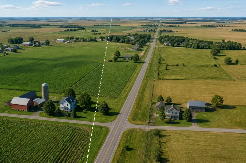
Pay attention to changes in width and alignment. An older corridor may be narrower than the streets built around it, or it may run at an angle to a newer grid. That difference can help identify a surviving trace, but it is not proof by itself. Developers also lay out streets around slopes, parcels, drainage, and existing buildings.
Check parcel boundaries and alleys where public streets seem to stop. A line of rear fences, narrow lots, or service passages may preserve an earlier corridor’s course. These clues are strongest when they continue the map alignment and connect recognizable points. A row of angled property lines in isolation can have many explanations.
Do not assume that a route must remain a public street to count as a trace. The old line might survive as the edge between blocks, a footpath, or a long boundary behind buildings. Describe what is visible accurately: “the street follows part of the mapped route” is more defensible than “this is the original road.”
Read the terrain
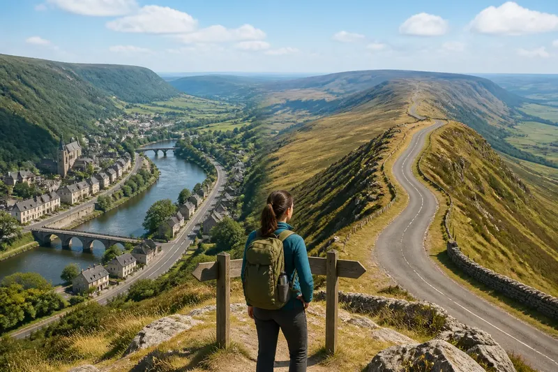
Look at the land between the endpoints. Roads tend to take account of slopes, stream crossings, and passes through higher ground. A present street that follows a steady contour or reaches a natural crossing may fit an older route, especially if the maps also support that connection. Terrain can explain why a line took a particular course; it cannot establish when the road began.
Use a topographic map or a reliable terrain view to note ridges, valleys, and watercourses. Ask whether the suspected line offers a plausible way through the landscape. Then compare nearby alternatives. A street that appears to follow an old route may simply be the most practical modern way across a slope.
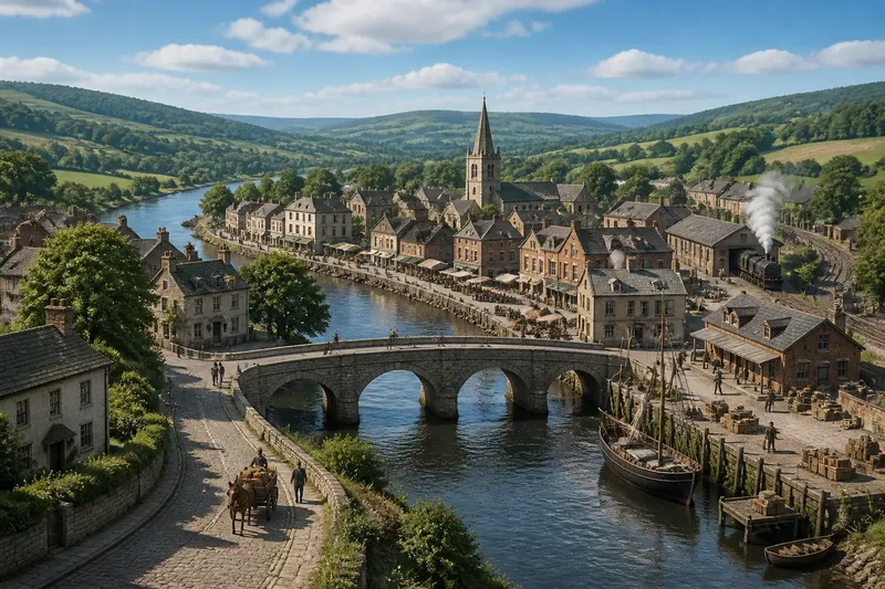
Bridges and crossings deserve careful attention. A route may bend toward a ford, ferry landing, or bridge site, while later engineering moves the crossing nearby. The exact point can change even when the approach roads retain their general direction. Check whether older maps place the crossing where the present route seems to lead, and distinguish a shifted crossing from an unbroken alignment.
Check names and local records
Street and field names can direct further searching, but they are supporting clues. Terms such as “Old Road,” “Causeway,” or “Chapel Lane” may preserve a local memory, refer to a later feature, or have been applied for another reason. A name is not a date stamped on the pavement.
Search local directories, planning documents, historic property descriptions, and archive catalogs for the street, the landmarks at either end, and older names for the same area. A record describing a road closure, realignment, or subdivision can clarify why a route breaks or changes direction. If a source uses a different name, compare the described endpoints and nearby features before treating it as the same road.
For mapped routes and property details, the map legend and collection notes matter. Local access rules and archival handling instructions also apply where relevant; follow the institution’s guidance rather than assuming every record is freely available or reproducible.
What can the clues tell you?
Does a crooked street indicate an old road?
Not by itself. A bend may reflect terrain, property lines, drainage, or a recent design choice, so compare it with dated maps and the surrounding street pattern.
What if the old map and street do not line up?
Check the map’s date, scale, and landmarks before deciding there is a mismatch. The route may have shifted, the map may be imprecise, or the apparent line may not be a road at all.
Can a field boundary preserve a route?
It can preserve part of a former corridor, especially when the boundary continues a mapped line between plausible endpoints. Treat it as a trace, not proof that vehicles or travelers used the whole boundary as a road.
How should an uncertain route be described?
State what the evidence supports and name the uncertainty. “The present lane appears to follow the mapped road for part of its course” tells a reader more than calling it ancient without a date or source.
Test one route
Say you are examining a modern street that leaves an old town center and points toward a neighboring village. An earlier map shows a track on roughly the same line, while a later map shows the track cut by a railway. You then find a narrow lane and a run of angled property boundaries continuing on the far side. The expected observable result is a plausible sequence of surviving fragments, not proof that every segment is unchanged or that the route has a particular age.
Keep a brief evidence note as you work. Record the map date, the feature shown, the modern feature that appears to match it, and any competing explanation. This makes it easier to separate what the map depicts from what you infer. It also prevents a tempting street name from quietly becoming the main evidence.
At the end, classify the route in plain language: a mapped continuation, a partial alignment, a possible boundary trace, or an uncertain resemblance. Include the endpoints and the breaks. For a reader trying to understand how a region is connected, those particulars show how the old road under the new street still shapes the pattern—without asking the pavement to tell a story the records cannot support.